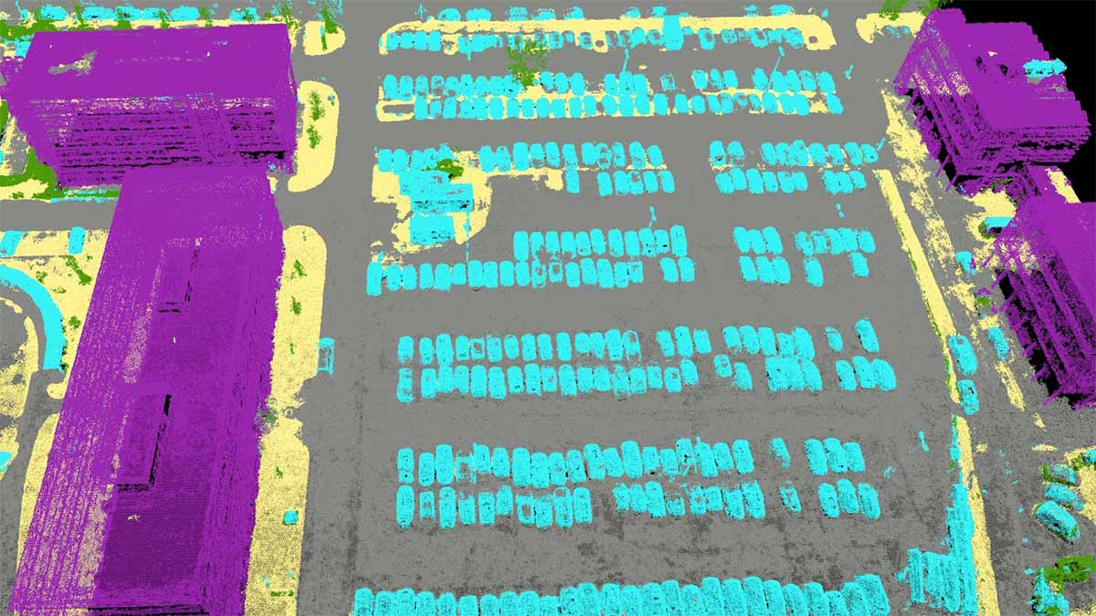
– Automatic Point Cloud Classification
– Flatten & Smoothen Digital Surfaces
– Easily measure surface, distance, and volume
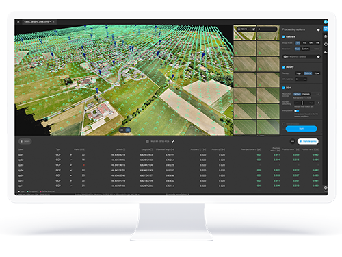
– Control over the project accuracy
– Detailed quality report
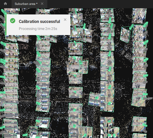
PIX4Dmapper’s photogrammetry algorithms transform your ground or aerial images in digital maps and 3D models.
Seamlessly process your projects on your desktop using our photogrammetry software, or bundle with PIX4Dcloud for online processing.