SG6 Pocket Visual GNSS
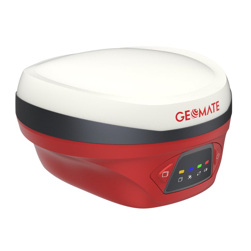
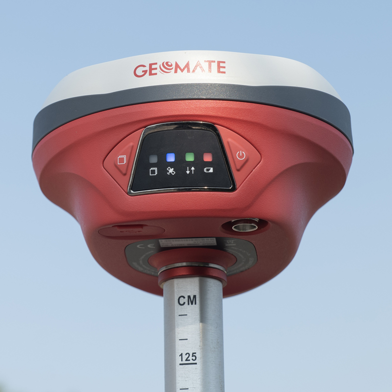
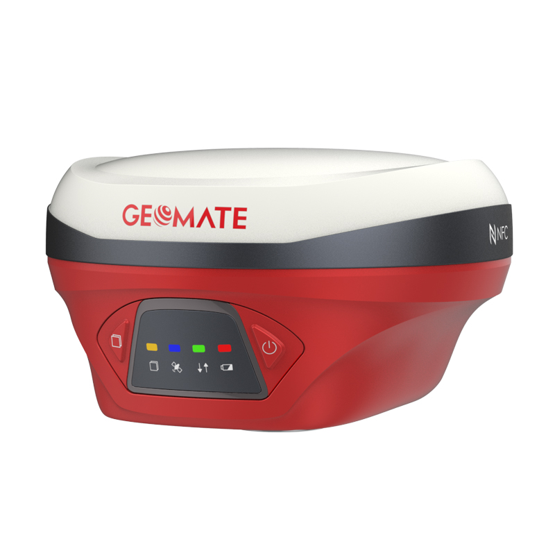
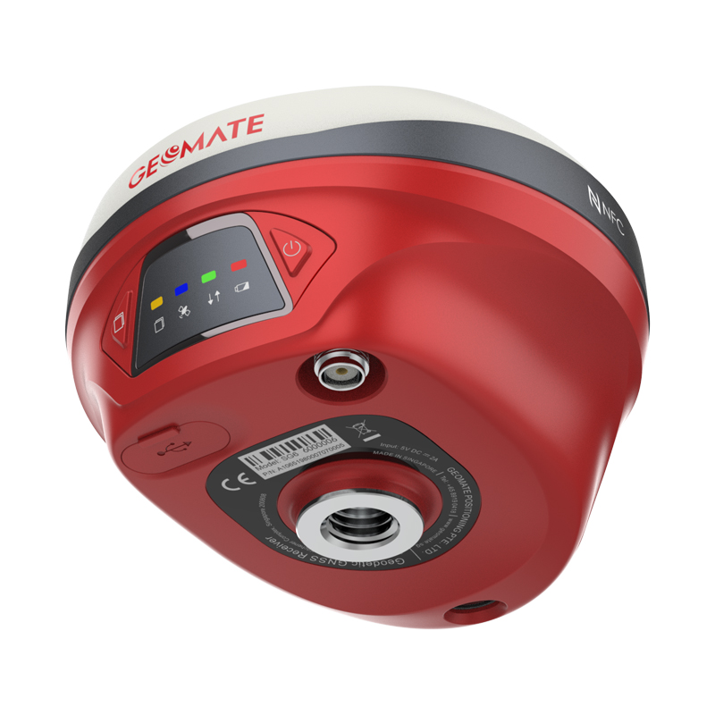
The GeoMate SG6 Pocket Visual GNSS Receiver is a compact, high-precision GNSS RTK surveying receiver that combines a 1,608-channel GNSS engine, calibration-free IMU, and dual-camera visual surveying technology. It is designed for surveyors, engineers, and construction professionals who need accurate positioning together with visual stakeout, visual surveying, and 3D modeling capabilities. The SG6 is designed and manufactured in Singapore.
- 1,608-channel GNSS receiver supporting GPS, GLONASS, Galileo, BeiDou, QZSS and NavIC/IRNSS.
- High-precision RTK positioning with horizontal accuracy of 8 mm + 1 ppm RMS and vertical accuracy of 15 mm + 1 ppm RMS.
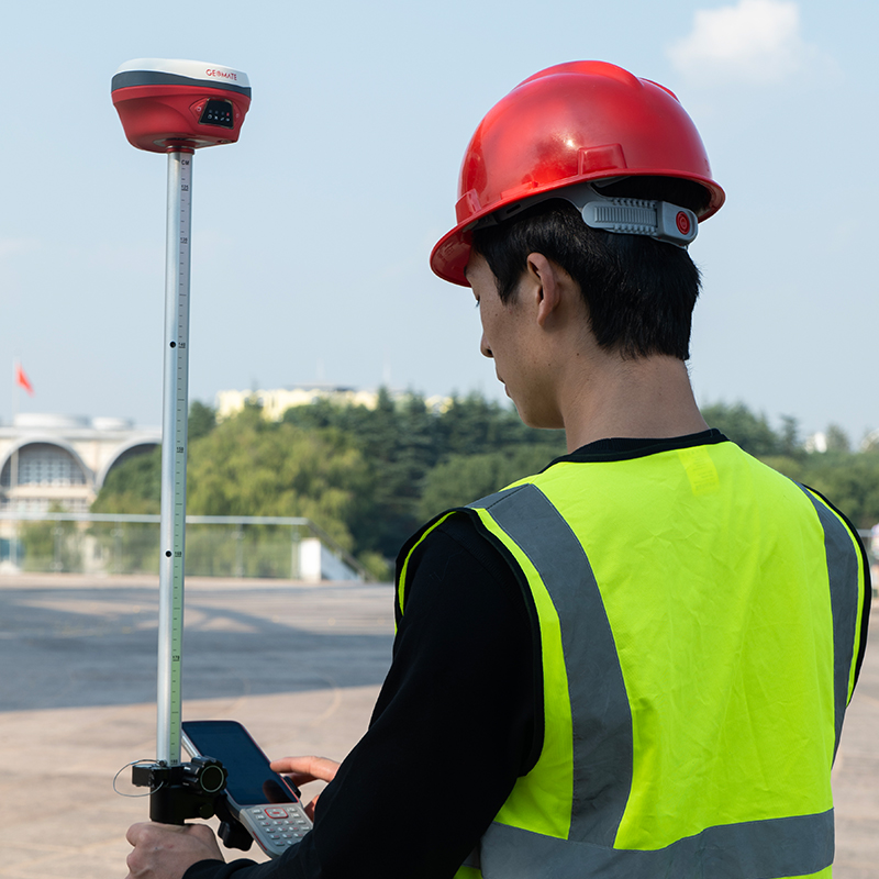
- Calibration-free IMU tilt compensation, allowing pole measurements at tilt angles of up to 60°.
- Dual-camera visual surveying for visual stakeout, visual survey and photogrammetric applications.
- Visual survey accuracy of approximately 2–4 cm at a typical range of 2–15 m.
- Visual stakeout with RTK-level positioning accuracy.
- 3D modeling capability for field data acquisition and site documentation.
- Integrated UHF radio operating from 410–470 MHz, with typical range of approximately 3 km and up to 8 km under optimal conditions.
- NFC, Wi-Fi and Bluetooth 4.2 for wireless communication.
- 8 GB internal storage for survey data.
- IP68-rated construction and designed to withstand a 2 m drop under the specified test conditions.
- Compact form factor weighing approximately 750 g.
The SG6 is suitable for a wide range of surveying and construction applications:
- Topographic Surveying – Accurate RTK data collection for terrain and site mapping.
- Construction Surveying – Establishing points, checking elevations and positioning construction elements.
- Visual Stakeout – Locate and stake out design points using the integrated camera and GNSS positioning.
- Cadastral & Land Surveying – Boundary and property surveys requiring centimeter-level positioning.
- Road and Infrastructure Surveying – Mapping roads, drainage, utilities and infrastructure corridors.
- As-Built Surveying – Quickly collecting field information for comparison with design data.
- 3D Site Modeling – Capturing visual survey information for creating 3D representations of a site.
- GIS & Asset Mapping – Collecting accurately positioned field data and visual documentation.
- Stockpile and Earthwork Surveying – Capturing terrain information for volume calculations.
- Difficult or Obstructed Survey Areas – IMU tilt compensation helps improve productivity where keeping the pole perfectly vertical is inconvenient.
Technical Specifications
| Specification | GeoMate SG6 |
|---|---|
| GNSS Channels | 1,608 channels |
| GPS | L1C/A, L2C, L2P(Y), L5 |
| GLONASS | L1, L2, L3* |
| Galileo | E1, E5a, E5b, E6* |
| BeiDou | B1I, B2I, B3I, B1C, B2a, B2b* |
| QZSS | L1C/A, L1C, L2C, L5 |
| NavIC/IRNSS | L5 |
| PPP | B2b-PPP, E6B-HAS |
| RTK Accuracy – Horizontal | 8 mm + 1 ppm RMS |
| RTK Accuracy – Vertical | 15 mm + 1 ppm RMS |
| RTK Initialization | <10 seconds |
| Initialization Reliability | >99.9% |
| PPK Accuracy – Horizontal | 3 mm + 1 ppm RMS |
| PPK Accuracy – Vertical | 5 mm + 1 ppm RMS |
| Static Accuracy – Horizontal | 2.5 mm + 0.5 ppm RMS |
| Static Accuracy – Vertical | 5 mm + 0.5 ppm RMS |
| Autonomous Accuracy | H: 1.5 m RMS / V: 2.5 m RMS |
| Visual Survey Accuracy | Typically 2–4 cm |
| Visual Survey Range | 2–15 m |
| Visual Stakeout Accuracy | H: 8 mm + 1 ppm / V: 15 mm + 1 ppm RMS |
| Positioning Rate | 1 Hz, 5 Hz, 10 Hz |
| IMU Update Rate | 200 Hz |
| Tilt Compensation | 0–60° |
| Bluetooth | Bluetooth 4.2 |
| Wi-Fi | IEEE 802.11 b/g/n/ac |
| NFC | Supported |
| UHF Frequency | 410–470 MHz |
| UHF Transmit Power | 0.5 W / 1 W |
| UHF Range | Typically 3 km; up to 8 km in optimal conditions |
| Data Formats | RTCM 2.x/3.x, CMR, RINEX 2.11/3.02, NMEA 0183 |
| NTRIP | Client and Caster |
| Internal Storage | 8 GB |
| USB | USB Type-C |
| Weight | Approx. 750 g |
| Dimensions | Ø134 mm × 80 mm |
| Ingress Protection | IP68 |
| Operating Temperature | -40°C to +65°C |
| Storage Temperature | -40°C to +85°C |
| Drop Resistance | Up to 2 m under specified test conditions |
Specifications are based primarily on GeoMate’s published SG6 technical documentation; some GNSS signals/features are subject to firmware and service availability.
Why the SG6 stands out
The main advantage of the GeoMate SG6 is that it combines RTK + IMU + cameras in one compact receiver. Instead of relying only on conventional GNSS positioning, the surveyor can use visual surveying and visual stakeout to improve field productivity. Its 60° tilt capability, 1,608-channel GNSS engine, and dual-camera technology make it particularly useful for modern construction and surveying workflows.