GS100 SLAM
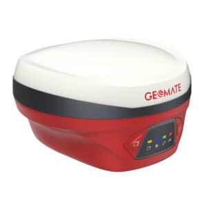
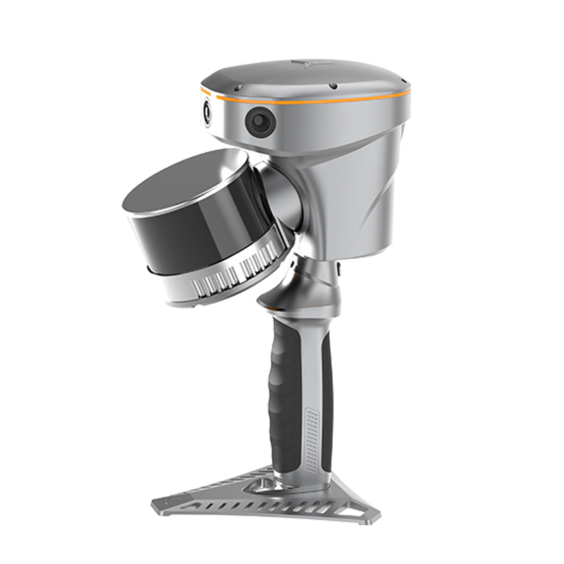
Absolutely. The GeoMate GS100 SLAM is a handheld 3D laser scanning and surveying system that combines GNSS RTK, LiDAR laser scanning, IMU, and visual SLAM in one portable unit. It is designed for fast 3D reality capture in both GNSS-accessible outdoor areas and challenging indoor/GNSS-denied environments.
Product Description
The GeoMate GS100 provides a practical solution for surveyors, civil engineers, BIM professionals, contractors, and infrastructure specialists who need to rapidly capture detailed 3D spatial data. By combining RTK positioning with SLAM-based mapping, the GS100 can continue collecting data even when satellite signals become weak or unavailable.
Its LiDAR scanner captures millions of laser measurements to create dense 3D point clouds, while the visual SLAM and IMU system continuously tracks the scanner’s movement. GNSS RTK provides georeferencing and helps maintain absolute positioning accuracy when satellite reception is available.
Key Features
- GNSS RTK + Visual SLAM integration – combines satellite positioning and SLAM for indoor/outdoor surveying.
- High-precision 3D scanning – absolute accuracy of less than 5 cm RMS and relative accuracy of less than 1 cm under specified conditions.
- Long-range LiDAR – measurement range from approximately 0.05 m to 120 m.
- 360° horizontal scanning with approximately 270° vertical field of view.
- 320,000 points/second maximum effective measurement rate.
- 16-channel LiDAR with Class 1 eye-safe laser.
- Three cameras providing a combined 15 MP imaging system for visual SLAM and color/reality capture.
- 200 Hz IMU for motion and orientation tracking.
- 512 GB internal storage.
- Hot-swappable battery, with approximately 1 hour operation per battery.
- IP64 protection, suitable for demanding field environments.
- Lightweight at approximately 1.9 kg including RTK and battery.
Typical Applications
The GS100 can be particularly useful for:
- Building documentation
- As-built surveys
- Construction progress monitoring
- Structural and architectural documentation
- Existing-building surveys
- Point-cloud generation
- BIM data acquisition
- Facility documentation
- Tunnels
- Mines
- Underground structures
- Areas where GNSS is unavailable
- Utility mapping
- Infrastructure inspection
- Road and civil engineering projects
- Terrain and vegetation mapping
- Forest surveys
- Stockpile volume calculations