N2 Palm GNSS Receiver
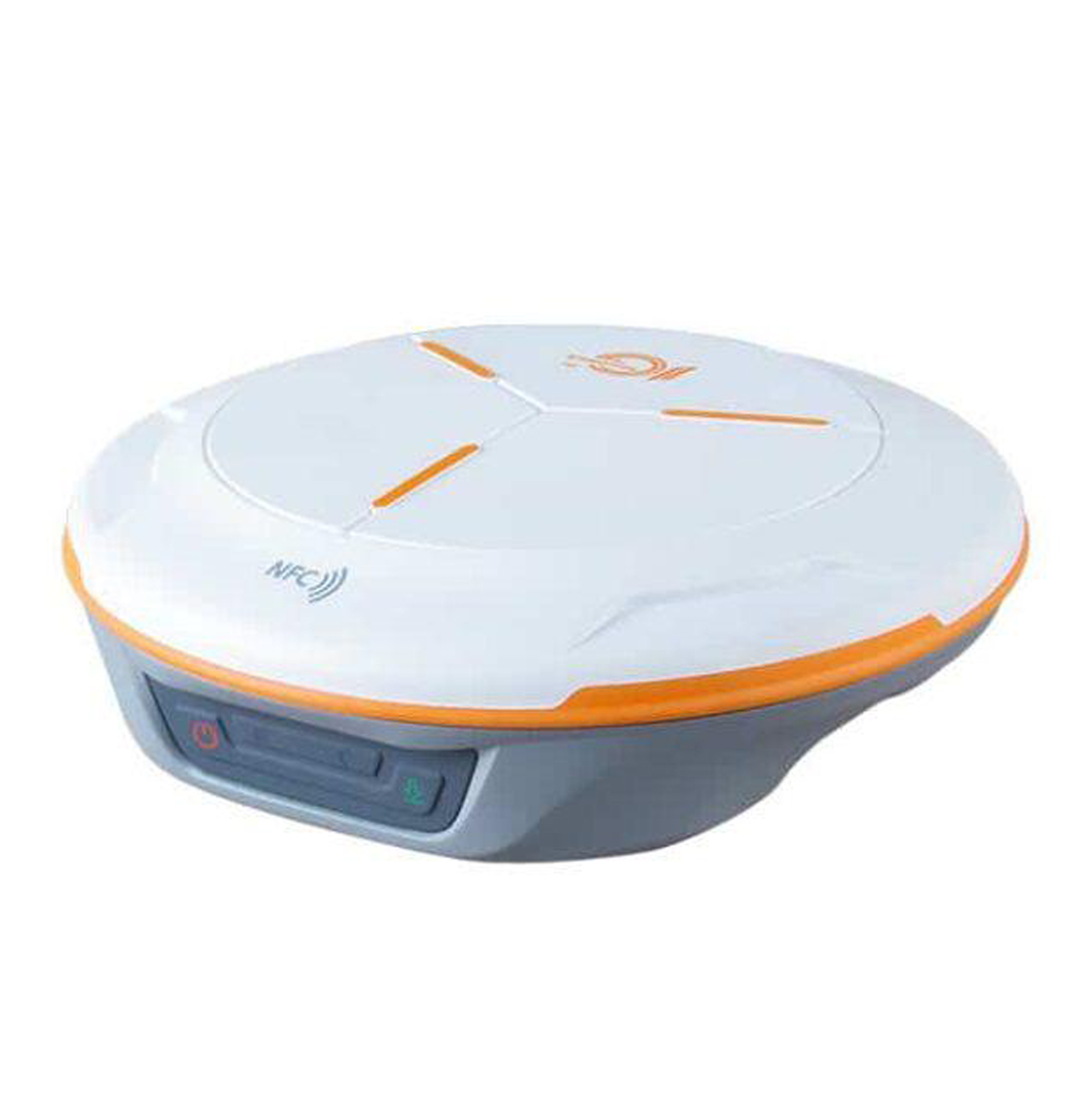
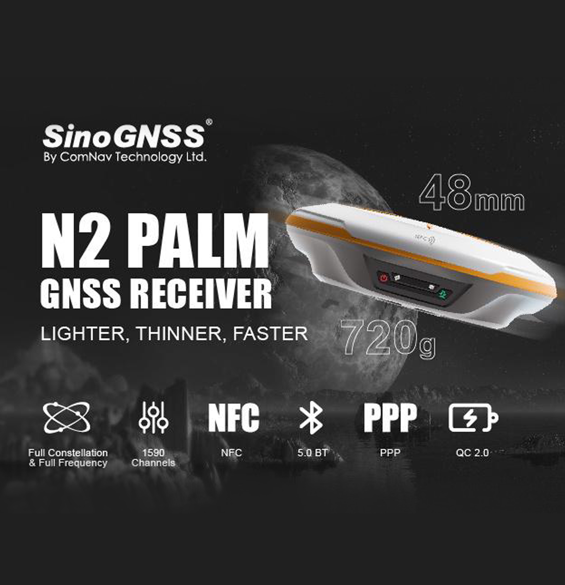
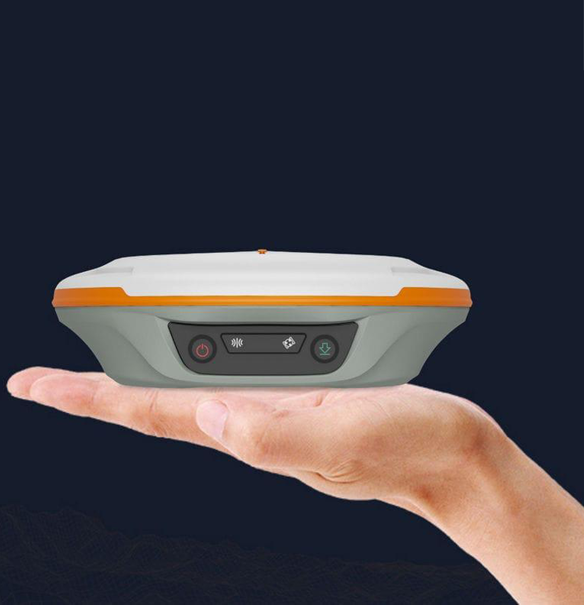
The N2 Palm is a slim and lightweight GNSS RTK receiver featuring 1,590 channels and support for multiple global satellite constellations. Its compact 48 mm-thick body and approximately 670–720 g weight make it convenient for all-day field surveying.
It supports Static, Fast Static, PPK and RTK surveying, while its integrated IMU provides tilt surveying up to 60° with approximately 2.5 cm accuracy, allowing surveyors to measure points without keeping the pole perfectly vertical.
Key Features
- 1,590 GNSS channels
- Multi-constellation and multi-frequency GNSS tracking
- GPS, BeiDou, GLONASS, Galileo, QZSS, IRNSS and SBAS
- IMU tilt compensation up to 60°
- Tilt-survey accuracy: 2.5 cm
- Supports RTK, PPK, Static and Fast Static
- Integrated 4G LTE modem
- Integrated 410–470 MHz UHF radio
- UHF transmit power adjustable from 0.5 W / 1 W / 2 W
- UHF working range up to 15 km under ideal conditions
- Bluetooth 5.0 Dual Mode
- USB Type-C
- Up to 20+ hours operating time
- IP67 waterproof and dustproof
- Survives a 2 m drop onto concrete
- Android-compatible field data collection
- Supports CAD import and stakeout workflows
- RINEX and ComNav raw-data support
Technical Specifications
| Specification | SinoGNSS N2 Palm |
|---|---|
| GNSS Channels | 1,590 |
| GPS | L1C/A, L1C, L2P, L2C, L5 |
| BeiDou (BDS) | B1I, B2I, B3I, B1C, B2a, B2b |
| GLONASS | G1, G2, G3 |
| Galileo | E1, E5a, E5b, E6c, E5 AltBOC |
| QZSS | L1C/A, L2C, L5, L1C |
| IRNSS | L5 |
| SBAS | L1C/A |
| RTK Initialization | ≤10 seconds |
| Signal Re-acquisition | ≤1 second |
| RTK Horizontal Accuracy | 8 mm + 1 ppm |
| RTK Vertical Accuracy | 15 mm + 1 ppm |
| Static/Fast Static Horizontal | 2.5 mm + 0.5 ppm |
| Static/Fast Static Vertical | 5 mm + 0.5 ppm |
| Long Observation Static Horizontal | 3 mm + 0.1 ppm |
| Long Observation Static Vertical | 3.5 mm + 0.4 ppm |
| DGPS Accuracy | <0.4 m RMS |
| SBAS Accuracy | 1 m 3D RMS* |
| Standalone Accuracy | 1.5 m 3D RMS |
| Tilt Survey | Up to 60°, 2.5 cm accuracy |
| Update Rate | 1 / 2 / 5 / 10 Hz |
| Internal Memory | 8 GB; 16/32 GB options cited in documentation |
| Bluetooth | Bluetooth 5.0 Dual Mode |
| UHF Frequency | 410–470 MHz |
| UHF Power | 0.5 W / 1 W / 2 W adjustable |
| UHF Range | Up to 15 km in ideal conditions |
| 4G | LTE-FDD / LTE-TDD / WCDMA / GSM |
| USB | Type-C |
| Pole Interface | 5/8″ UNC female thread |
| UHF Connector | TNC |
| Housing | Magnesium-aluminum alloy |
| Dimensions | Ø149 ±1 mm × 48 ±1 mm |
| Weight | About 670 g |
| Operating Temperature | -30°C to +65°C |
| Storage Temperature | -40°C to +85°C |
| Water/Dust Protection | IP67 |
| Drop Resistance | 2 m onto concrete |
| Charging Time | <5 hours with QC2.0 |
| Operating Time | ≥20 hours |
| Power Consumption | RX ≤1.8 W; TX ≤3.6 W |
Main Applications
The N2 Palm can be used for:
- Topographic surveying
- Land and cadastral surveying
- Construction surveying
- Road and infrastructure surveys
- Boundary surveys
- Stakeout
- GIS data collection
- Mapping
- RTK base/rover operations
- Static and PPK surveys
- Precision agriculture
- Marine surveying
- Machine-control applications
Communication & Data
The N2 supports RTCM 2.x/3.x and CMR/CMR+ correction formats and can output standard NMEA-0183 messages. ComNav Binary output can reach 20 Hz.
It can also record GNSS observation data in RINEX and ComNav Raw Binary formats for post-processing. The associated software supports static and kinematic processing and can produce reports in formats including DXF, TXT and KML.
Supported Software
Survey Master
- Android-based field data collection
- Survey and stakeout workflows
- CAD import
- Surface stakeout and mapping survey
MicroSurvey FieldGenius
Android and Windows field data collection options
SinoGNSS Compass
- GNSS post-processing
- Static and kinematic processing
- RINEX/raw-data processing
- DXF, TXT and KML output
- DJI P4R data compatibility is also documented.