Jupiter Laser RTK
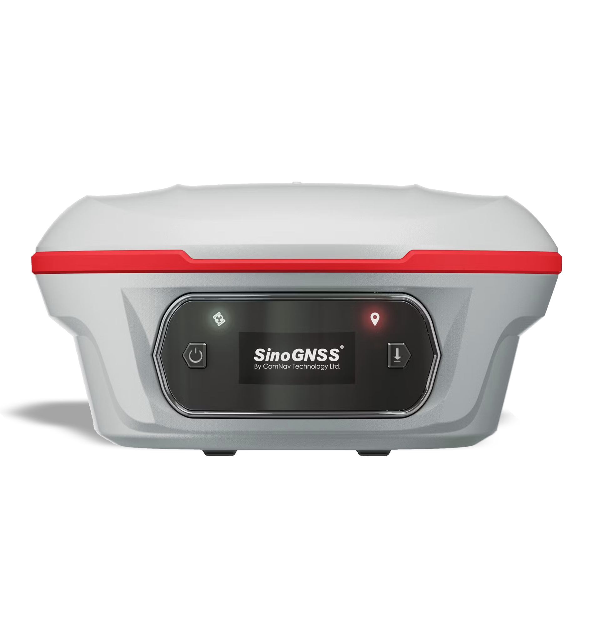
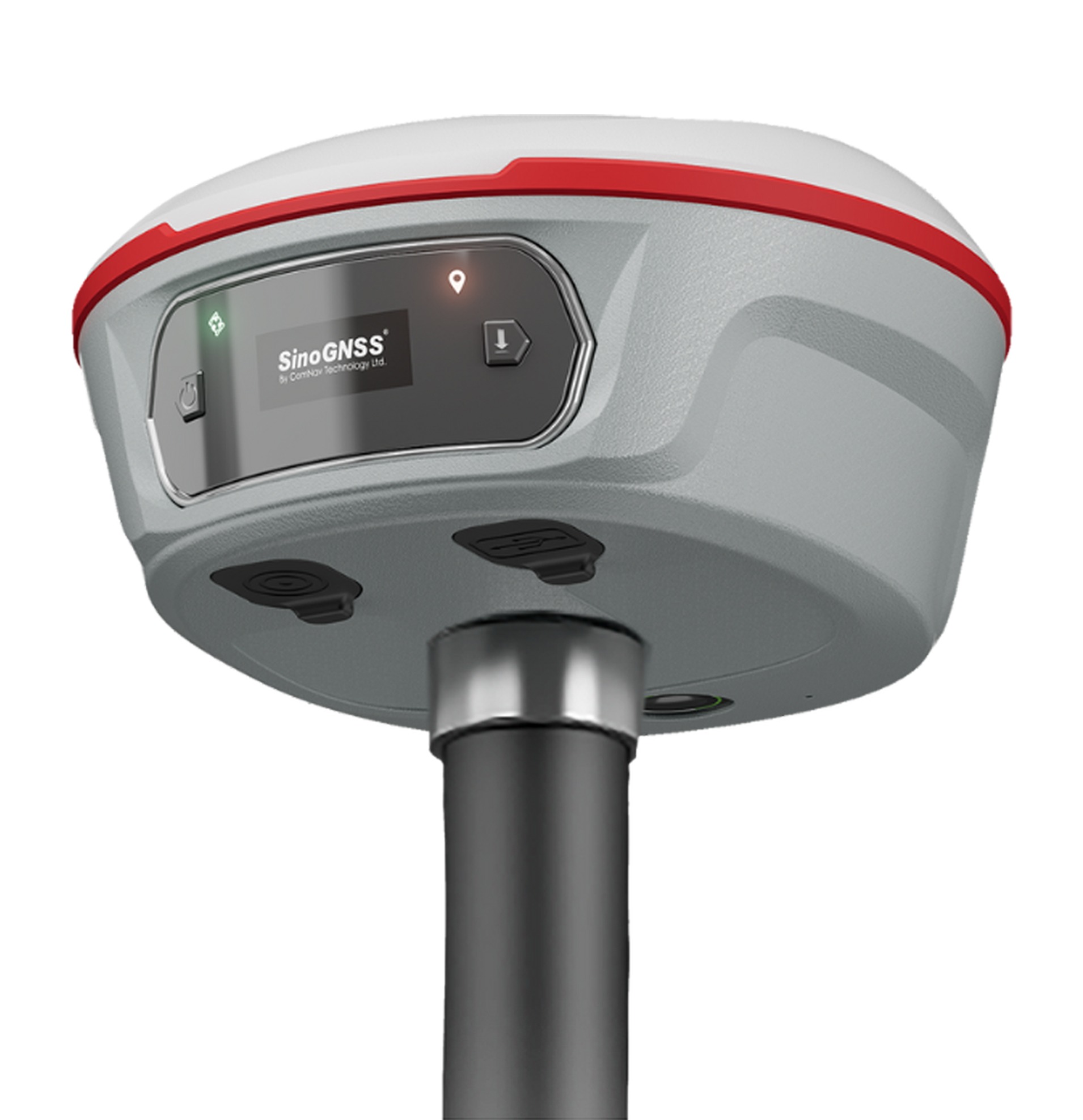
The SinoGNSS Jupiter Laser RTK is a high-end GNSS surveying receiver that combines multi-constellation GNSS, IMU tilt compensation, laser measurement, and dual-camera visual stakeout in one unit. It is designed for topographic surveying, construction layout/stakeout, points that are difficult to occupy with a range pole, and work in areas where conventional GNSS positioning is challenging.
Key Features
- 1,668-channel K8 GNSS engine for multi-constellation, multi-frequency satellite tracking.
- Full GNSS constellation support: GPS, BDS, GLONASS, Galileo, QZSS, IRNSS and SBAS.
- Auto-IMU tilt survey — up to 120° tilt compensation, with approximately 2.5 cm accuracy in conventional tilt mode.
- Integrated 50 m laser for measuring points that are difficult or unsafe to occupy directly with a pole.
- Laser accuracy: approximately 3–5 mm + 1 ppm at room temperature.
- Dual-camera visual stakeout provides a visual 3D view and helps operators locate and stake points without repeatedly moving the pole.
- PPP support, including BDS B2b and Galileo HAS, subject to service/configuration availability.
- Super Datalink/UHF with up to 15 km working range under ideal conditions using SNLonglink.
- OLED color display for quick monitoring of satellites, RTK status and battery.
- IP67/IP68-rated protection depending on the current specification/version; the latest manufacturer material lists IP67/IP68 inconsistently, so I would verify the exact rating of the unit being quoted.
- Android 12 platform and 8-core processor in the current Jupiter package.
Main Technical Specifications
| Specification | Jupiter Laser RTK |
|---|---|
| GNSS Channels | 1,668 |
| GNSS | GPS, BDS, GLONASS, Galileo, QZSS, IRNSS, SBAS |
| RTK Initialization | <5 sec (baseline ≤10 km) |
| Initialization Reliability | ≥99.99% |
| Data Update Rate | 1 / 2 / 5 / 10 / 20 Hz |
| Static/Fast Static H | 2.5 mm + 0.5 ppm RMS |
| Static/Fast Static V | 5 mm + 0.5 ppm RMS |
| Long Observation Static H | 3.0 mm + 0.1 ppm RMS |
| Long Observation Static V | 3.5 mm + 0.4 ppm RMS |
| RTK H | 8 mm + 1 ppm RMS |
| RTK V | 15 mm + 1 ppm RMS |
| Standalone | 1.5 m 3D RMS |
| IMU Tilt | Up to 120° |
| IMU Tilt Accuracy | Approx. 2.5 cm |
| Laser Range | 50 m |
| Laser Accuracy | 3–5 mm + 1 ppm |
| Laser Frequency | 3 Hz typical / 5 Hz maximum |
| Laser Tilt Measurement | ≤3.5 cm at 5 m, ≤60° tilt |
| UHF Frequency | 410–470 MHz |
| UHF Transmit Power | 0.5 / 1 / 2 W adjustable |
| UHF Range | 3–15 km, depending on environment/protocol |
| Wi-Fi | 802.11 a/b/g/n, 5 GHz |
| Bluetooth | Bluetooth 4.0 |
| Battery | 7.2 V, 5,000 mAh Li-ion |
| Operating Time | Approx. 16 hours |
| Memory | 4 GB |
| Interface | USB Type-C |
| Weight | Approx. 810 g, including battery |
| Dimensions | Ø13.35 × 6.6 cm |
| Display | 1.1″ OLED color display |
| Housing | Aluminum-magnesium alloy |
| Operating Temperature | −40°C to +65°C |
| Storage Temperature | −40°C to +85°C |
| Shock Resistance | 2 m drop onto concrete |
| Laser Safety | Class 3R |
| Cameras | 2 × 2 MP global shutter |
| Camera FOV | 75° |
| Camera Frame Rate | 30 fps |
Typical Applications
Jupiter Laser RTK is particularly suitable for:
- Topographic surveys
- Land surveying
- Construction surveying
- Road and infrastructure projects
- Building layout
- Stakeout
- Utility surveys
- Surveying near obstacles
- Points that are dangerous or difficult to occupy
- Stockpile and earthwork surveys
- GIS/data collection
- Cadastral-related fieldwork
- Surveying in areas where visual stakeout is advantageous
Categories Gnss, Surveying Instrument
Tags GNSS Receiver, Jupiter Laser RTK, Siccion Marketing, SinoGNSS, Surveying